View All Services
Professional Land Surveying & UAV
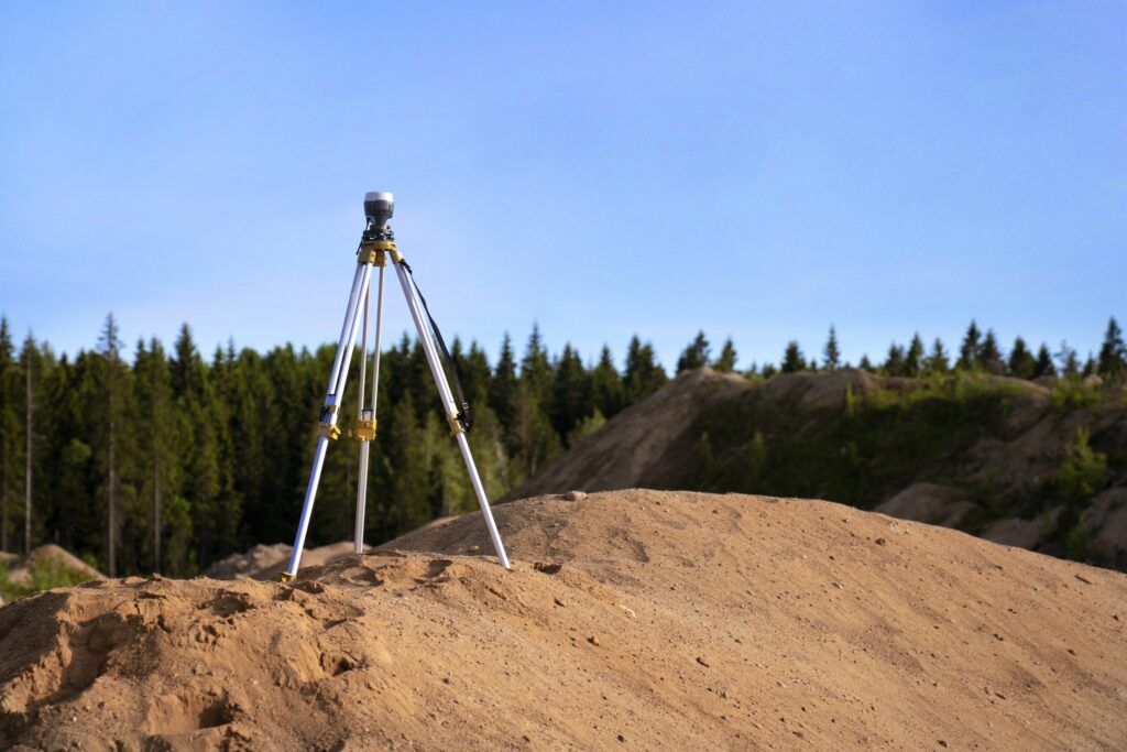
With a professional land surveyor on staff, we have the capabilities to provide certification of construction features while minimizing costs and coordination efforts. We also provide boundary services, platting services, mortgage title inspection, real property reports, topographic services, cadastral surveying, and construction staking.
Service Offerings
Professional Land Surveying
- Boundary Services
- Platting Services
- American Land Title Association (ALTA) and National Society for Professional Surveyors (NSPS) Land Title Survey
- Mortgage Title Inspection
- Real Property Report
- Topographic Services
- Federal Emergency Management Agency (FEMA) Elevation Certificate and Letter of Map Amendment (LOMA) Survey
- Cadastral Surveying
- Construction Staking
Unmanned Aerial Vehicle (UAV)
- Robotic Total Station Instruments
- Digital Level Instruments
- GNSS/Real-Time Kinetic Positioning (RTK) Survey Systems
- High-Speed Networked Computer Systems
- 3-D Laser Scanning
- Trimble SX10 Scanning Total Station
- Unmanned Aerial Systems (UAS)
- GeoSLAM Zeb Horizon Handheld Laser Scanner
Information Sheet
Contact Us
For more information about this service line, call M. Wayne Blackbourn at 620.364.6592.