View All Services
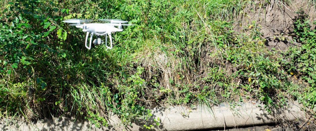
Unmanned Aerial Vehicle & Geospatial Services
Our UAV expertise is essential for engineering design and site redevelopment. The Blackstone drone provides aerial imagery, inspections of critical assets, and bird’s-eye-views of contaminated sites. Additionally, by using our UAV data combined with GPS, we can pinpoint precise locations and inventory assets.
Service Offerings
UAV Aerial Imagery
- Engineering Design and Site Redevelopment Projects
- Aerial Inspections of Critical Assets
- Bird’s-Eye-View of Contaminated Sites
- True-Color Aerial Basemaps
- Topographic Mapping with RTK GPS Ground Control
- Cinematic-Quality Fly-Over Videography
UAV Asset Inspections
- Structure Inspections and Reporting
- Close-Up Inspections of Linear Assets
- Condition Assessments of Structures After Damage
GIS/Asset Management
- Basemaps and Precise Locations
- Utility Assets Inside GIS
- Digital Maps of Assets and Links to Videos, Excel Tables, As-Builts and Photos
- GIS Database Development and Mapping
- Automated Reporting Linked to GIS Database
- Predictive Modeling Using Spatial Layers
- ArcGIS Online and Collector Application Development
Information Sheet
Contact Us
For more information about this service line, call Rowley Tedlock at 913.956.6222.